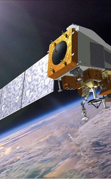
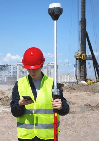
At orbivis, we offer expert advisory in geospatial intelligence and strategic partnerships, helping industry and government unlock smarter decision-making. Whether through satellite imagery, GIS mapping, or tailored partnerships, we connect clients with the right technology, expertise, and insight.
Our experience spans GEOINT, satellite remote sensing, GNSS asset mapping, and GIS strategy — supporting infrastructure, utilities, resources, and government. We focus on representation and partnerships that link global innovation with local needs, delivering actionable solutions that empower clients to see more, know more, and act faster.
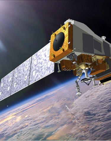
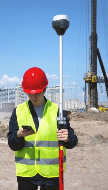